THE QUESTION
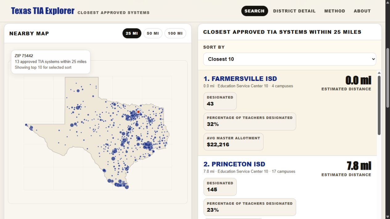
Where are the nearby TIA systems, and what does the public data tell us?
What you can explore
- Search by Texas ZIP code or district name.
- Explore 25-, 50-, or 100-mile radii with map and ranked results.
- Compare designation counts and campus allotments with source-year notes.
A deliberate choice
Bring scattered public information into one navigable view while preserving the qualifications needed to interpret it.
What it is built on
The explorer combines the 2025–26 TIA Funding Map, 2026–27 preliminary TEA Summary of Finance, and 2024–25 TAPR educator FTE data.
KEEP IN VIEW
What this can’t tell you
Distance is approximate and based on ZIP centroids. Source years differ. State allotments are not individual compensation, and the map does not show official district boundaries or job openings.
This overview describes the public tool reviewed in September 2026. It does not claim measured classroom impact or independent evaluation of the project.